15 May 2008
Marc writes:
Just what kind of people are the mid-week riders, anyway? I’ll tell you: they are the kind of people who schedule a ride for what could well be the hottest day of the year in the hottest portion of the bay area. Well, the plan was to head north while it was still relatively cool then head toward the coast before it got real hot.
The actual results: 1) it was never relatively cool, and 2) the hottest part of the ride was on Ca 1 around Valley Forge.
Mid-week riders are also observant of road signs. That’s how they know to turn onto Dry Creek from West Dry Creek in spite of maps showing that W Dry Creek turns into Fall Creek which runs into Skaggs Spring Rd. Fall Creek dead ends. Next time I’ll know to check the Satellite view when planning a route with google maps. Had I done that I’d have seen that the alleged road went through what looks like a large body of water.
Pictures
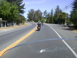
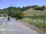
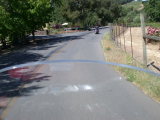
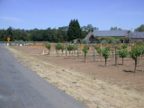
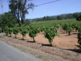
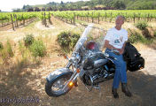
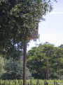
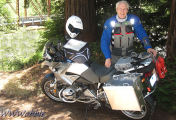
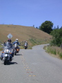
Eric at rest, vineyards off Dry Creek Rd
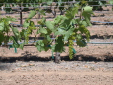
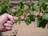
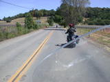
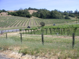
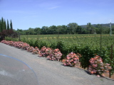
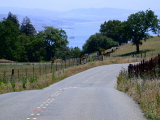
Dry Creek Valley
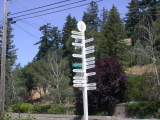
Marc takes a break at the Annapolis intersection
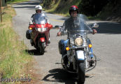
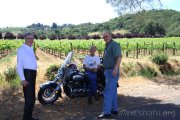
Eric and the Captain join (note use of the Captian’s indicator)
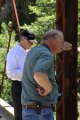
Bridge still standing, Annapolis intersection
Cooler closer to the coast
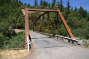
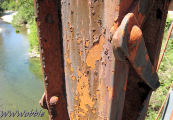
Bridge has seen better days

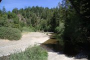
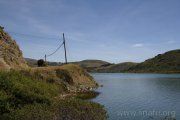
Gualala River
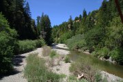
Looking west from the bridge
Looking east from the bridge
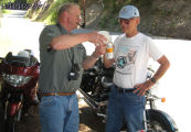
The Captain shares ice water on a HOT day
Counting fish
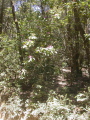
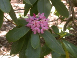
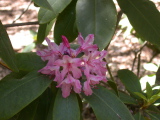
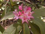
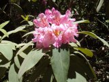
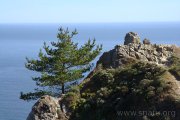
Rhodo
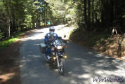
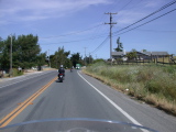
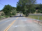
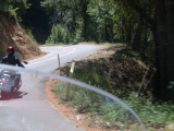
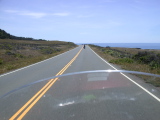
Marco, southbound Seaview Rd
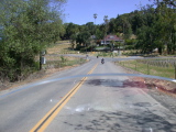
Jenner break
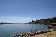
Russian River
Flowing into the Pacific
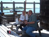
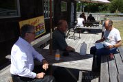
Bob and Chris
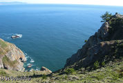
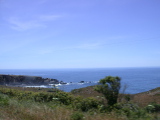
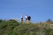
People, including us, travel miles to see this
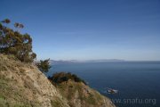
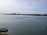
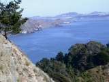
SF Peninsula
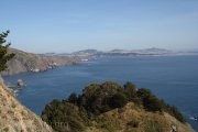
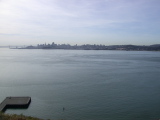
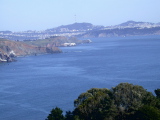
SF Peninsula
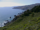
Looking west
Chris calls home
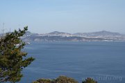
SF Peninsula