15 January 2009
Marc writes:
Major WWWobble and the GS Boy Scout took a ride to the south bay to scope out the state of the California Drought. If the reservoirs of Santa Clara County are any indication we’re in sad shape. Dry (and warm) winter weather isn’t helping.
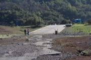
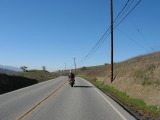
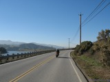
We headed south on I280 past downtown San Jose to Baily Ave. The first stop is Uvas Reservoir. What the images don’t show are temperatures in the low 70s. Yeah, we know the calendar says it it January.
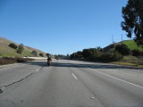
No Traffic SB 280
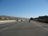
Leaving San Jose
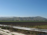
Winter?
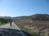
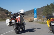
Bailey Ave
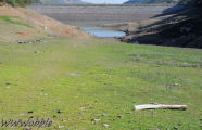
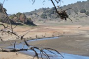
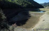
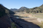
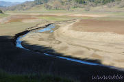
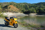
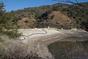
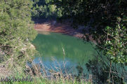
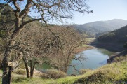
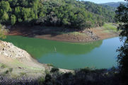
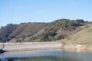
Uvas reservoir is, for all practical purposes, empty. A little bit of googling shows that as of the end of 2008 it was at less than 10% of capacity. Ouch. We remembered how it was 4 years ago when The Captain’s helmet decided to take a swim. Things have certainly changed.
Where’s the water?
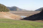
Uvas Reservoir Dam
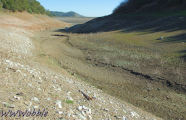
Meandering creek
I should be under water
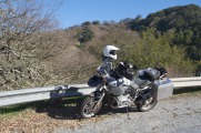
WWWobble shoots his bike
Reservoir, west of road
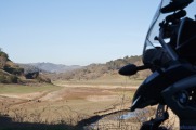
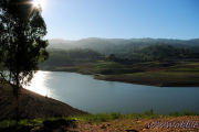
Uvas Reservoir looking N
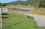
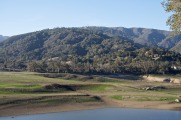
After moving a few times to get various views of the Uvas Reservoir we headed north, then west passing Calero Reservoir. It is at about 40% of capacity. We then looped back south through New Almaden and made quick stops at both the Almaden Reservoir and the Guadalupe Reservoir. The pictures tell the story: Almaden: about 17% of capacity; Guadalupe: about 35% of capacity.
Back on the road
Calero Reservoir
Almaden Reservoir Dam
Guadalupe Reservoir
GS
Guadalupe Reservoir Dam
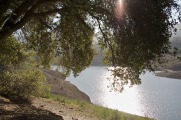
The final stop of the day was at a small park on the east side of Lexington Reservoir. This is the largest of the group we visited, holding 19,044 ac-ft when at the spillway. It was at 979 ac-ft on Dec 29th, less than 5% of capacity. Reservoir capacity statistics from the Santa Clara Valley Water District.
Lexington Reservoir
Lexington Reservoir looking W
Lexington Reservoir looking SW